INTRODUCTION
River basin management and planning is an attempt to identify
efficient ways to use water resources within the constraints of soil type, land use,
agricultural and other practices, engineering feasibility and social and financial
constraints. Since there are a virtually limitless set of water resources
development options that are available, it is inevitable that conflicts must arise over
how these resources are to be used. Resolving these conflicts is a demanding and
complex task.
 Proper water resource planning requires individual aspects of the problem to
be brought together within a framework the enables an integrated analysis that considers
all important factors. As a consequence, conclusions can be reached, and agreements
developed that can be accepted by competing interests.
Proper water resource planning requires individual aspects of the problem to
be brought together within a framework the enables an integrated analysis that considers
all important factors. As a consequence, conclusions can be reached, and agreements
developed that can be accepted by competing interests.
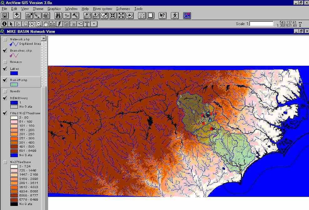
The MIKE BASIN model provides a means to develop a graphical and numerical
representation of water supply and demand that can help resolve conflicts and lead to an
efficient use of water resources.
MIKE BASIN - BASIC FEATURES
 | User- specified priority-based water allocation |
| Multiple & multi-purpose reservoir systems |
| Instream flows can be calculated at any point specified by the user |
| River loops, specified diversions and conditional diversions are allowed |
| Employs the popular ESRI ArcView GIS graphical user interface |
| On-screen editing and digitization |
| Flexible time step specification for simulations |
| Comprehensive documentation |
| Object-oriented coding |
| Fully dynamically memory handling |